
Springs
-
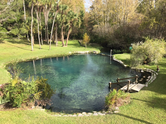
Shepherd (Starbuck) Spring
Shepherd Springs is about 2,200 feet north of Palm Springs on the west side of the river. It was never developed, and a thick upland hammock surrounds it. The Little Wekiva River is adjacent to the spring, so the pool of clear water is limited. During the early decades of Longwood, travelers reached Shepherd Springs by road from Wekiva Springs Road. It was a picturesque spot for picnics, and the Boy Scouts also used it for overnight camping. It is believed the original name came from a family named Shepherd living in that area. The name was changed to Starbucks…
-
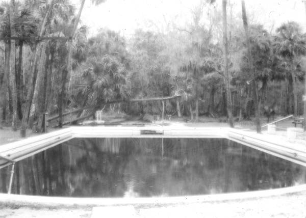
Palm Springs
Palm Springs is the middle spring of the trio that lies along the Wekiva River on the west side of Markham Woods Road and just north of State Road 434. Palm Springs is the only one of the trio not bordered by the river, which is approximately 200 yards away. As a result, it forms a clear pool of water, unlike the other two, which are coffee colored by the water fromthe Little Wekiva River. The clear pool was the first choice of early settlers. Improvements were made over the years, and by the mid-teens of the 20th century, it…
-
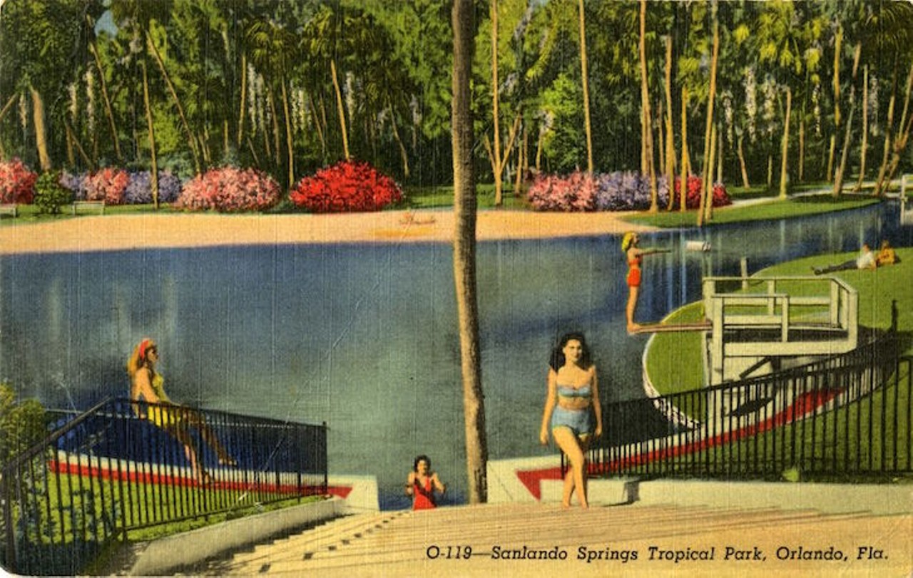
Sanlando (Hoosier) Springs
The main pool within “The Springs” subdivision was named Hoosier Springs by the early settlers in the 1870s. The spring, about 4.5 miles west of Longwood, pours out gallons of clear, 72-degree water year-round. It is the southernmost of three springs: Sanlando, Palm, and Starbucks, which lie along the Little Wekiva River for about one-half mile away. Sanlando Springs is about 500 feet north of where State Road 434 crosses the Little Wekiva River. The spring water empties into the coffee-colored Little Wekiva River, which runs along one edge of the pool. The tannins of the palmetto roots growing along…
-
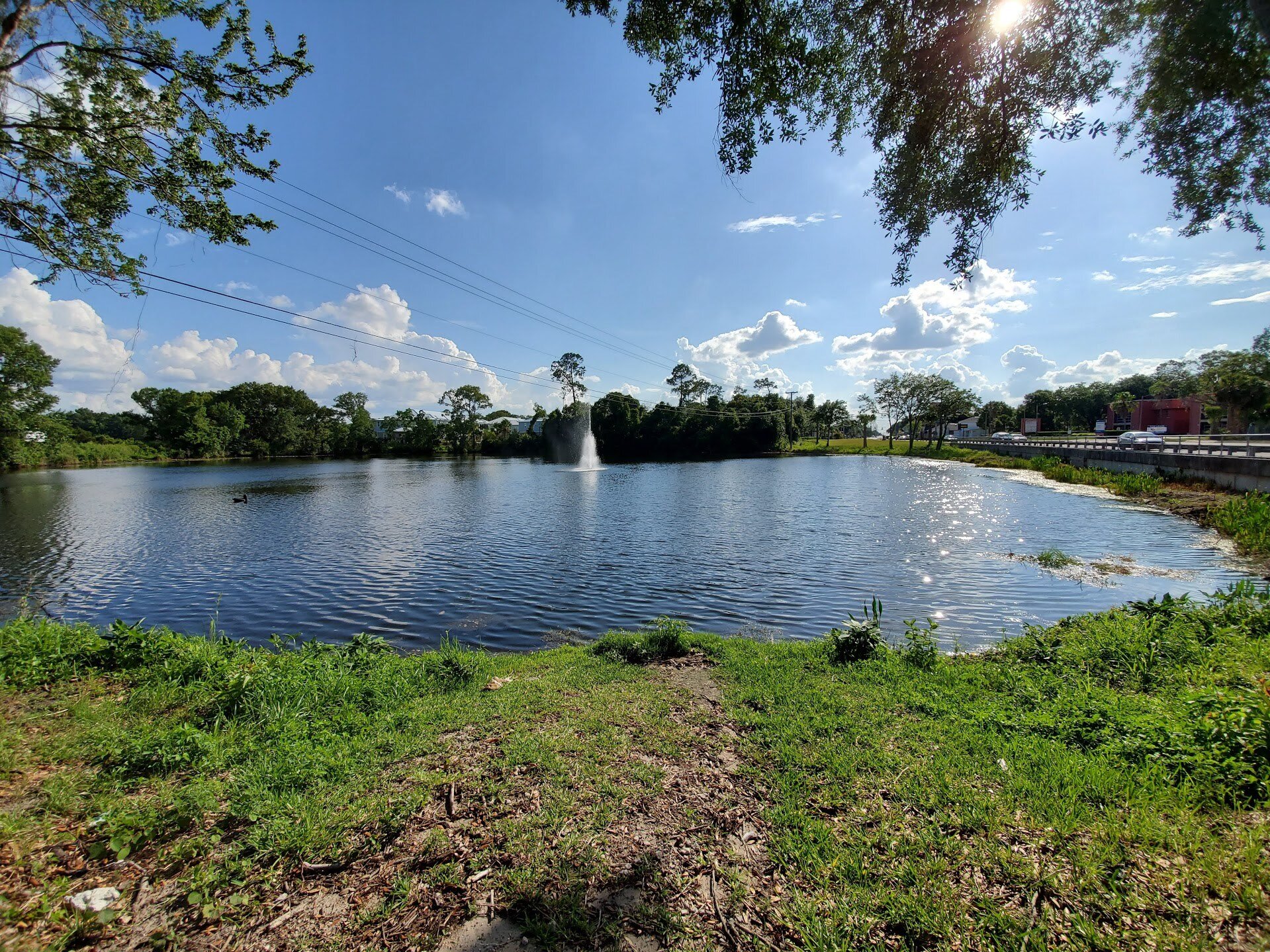
Lake Evergreen
Lake Evergreen in Longwood is a small but formidable barrier that for almost 70 years has prevented Highway 434 from being a straight shot through Longwood. The lake is located between Grant and Oxford. Longtime residents have long called the spring fed lake “bottomless” and observed how its water level barely budges even in droughts. Somewhere around 1950 State Road 434, then called Molnar Avenue between 427 and 17-92, was being paved. In an oral history with pioneer resident Andy Jones told of how the road builders brought the stakes up to the side of the lake. They planned to…